Bileća Lake
The heart of East Herzegovina's tourism
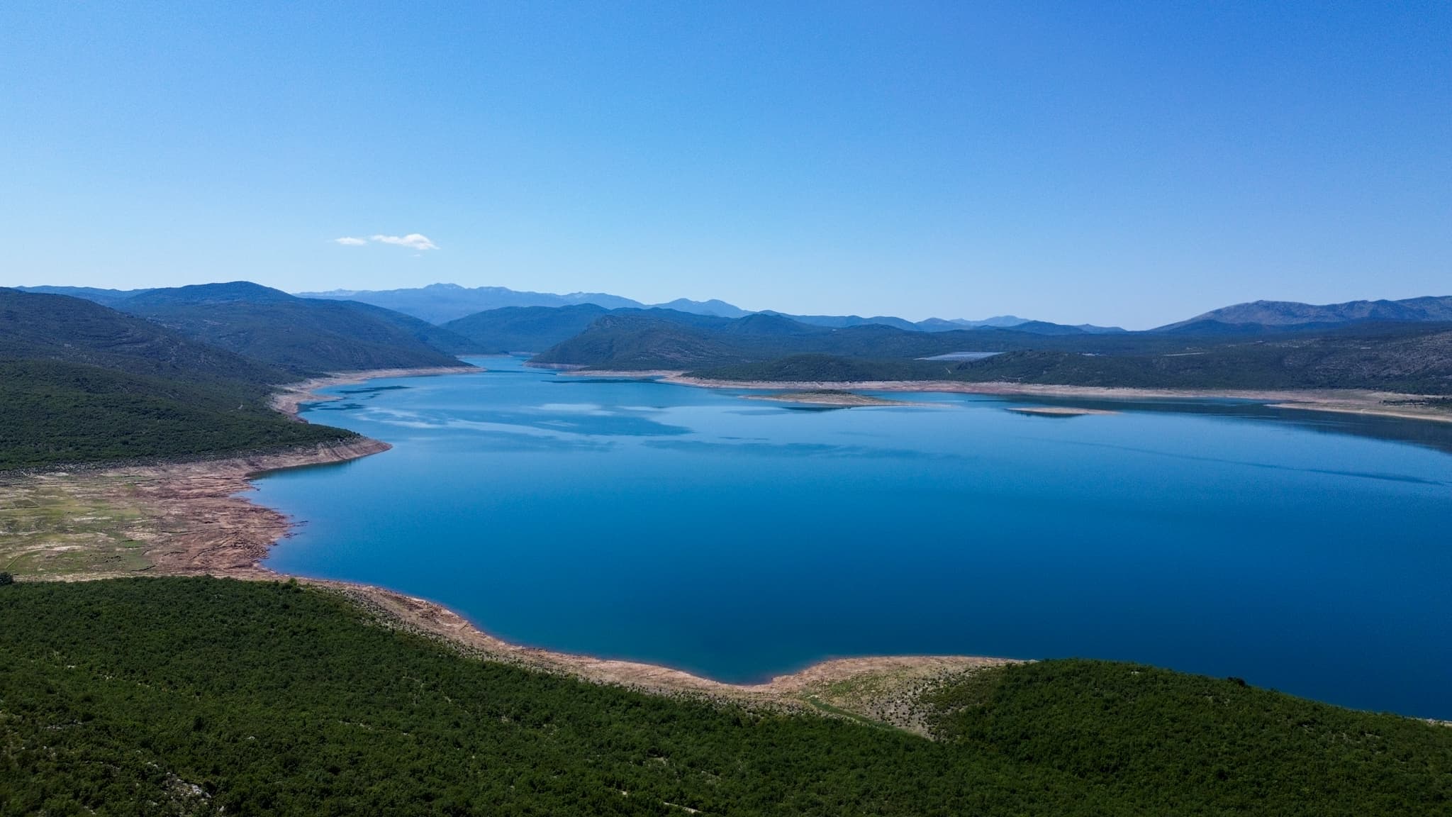
Bileća Lake was formed by damming the Trebišnjica river with the Grančarevo dam. The 123-metre-high dam was completed in 1967, and the Trebinje I hydroelectric plant was commissioned on 25 March 1968. This created one of the largest and deepest artificial reservoirs in Bosnia and Herzegovina.
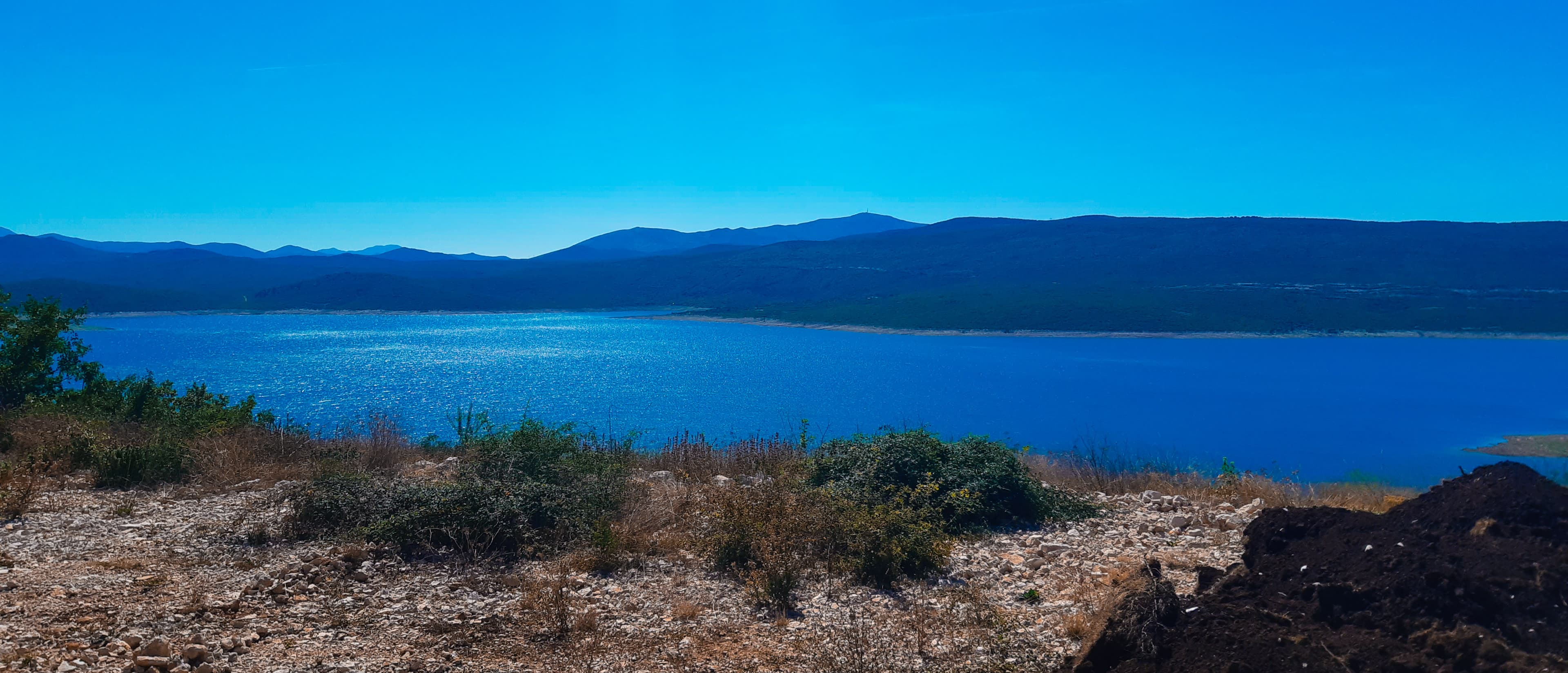
The lake covers about 33 km², varying with the water level; it is roughly 18 km long, with a maximum depth of around 104 metres. Clear water, calm and gentle shores make it a favourite place for swimming, boating and fishing during the warm Herzegovinian summers.
Beneath the calm surface lies the submerged past of the whole region. When the lake filled, the villages of Panik, Orah, Čepelica, Zadublje and Miruše disappeared under water, along with their houses, cemeteries and roads. Kosijerevo Monastery, which once owned around 3,000 hectares of land along with mills and a hospital, had to be relocated to the village of Petrovići in Banjani — after the 1946 nationalisation it was left with barely half a hectare. Today divers can explore an entire submerged settlement on the lake bed: houses, roads, cemeteries and the remains of churches.
What to expect
Swimming
Gentle beaches such as Čepelica and coves along the shore.
Boats & paddling
Still water ideal for boats, kayaks and paddling.
Angling
A rich fish stock; fish farms on the lake.
St Elijah's island
A little church on a small island — the lake's signature sight.
Diving tourism
Submerged villages and churches are visible to divers on the lake bed.
Stećci by the shore
A necropolis relocated from the valley floor before it was flooded.
The lake from every angle