Nature, history and architecture in one place.
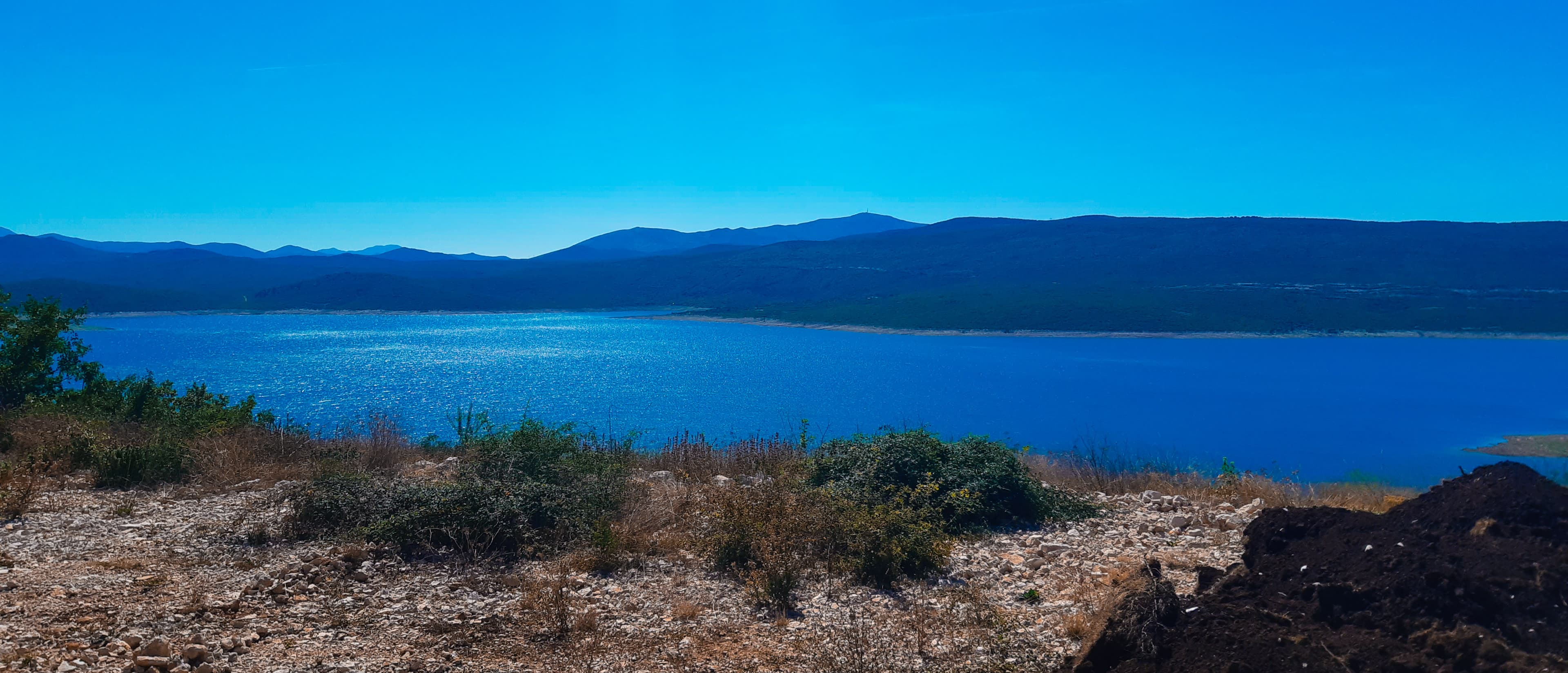
One of the largest and deepest artificial lakes in Bosnia and Herzegovina, formed by the Grančarevo dam in 1967.
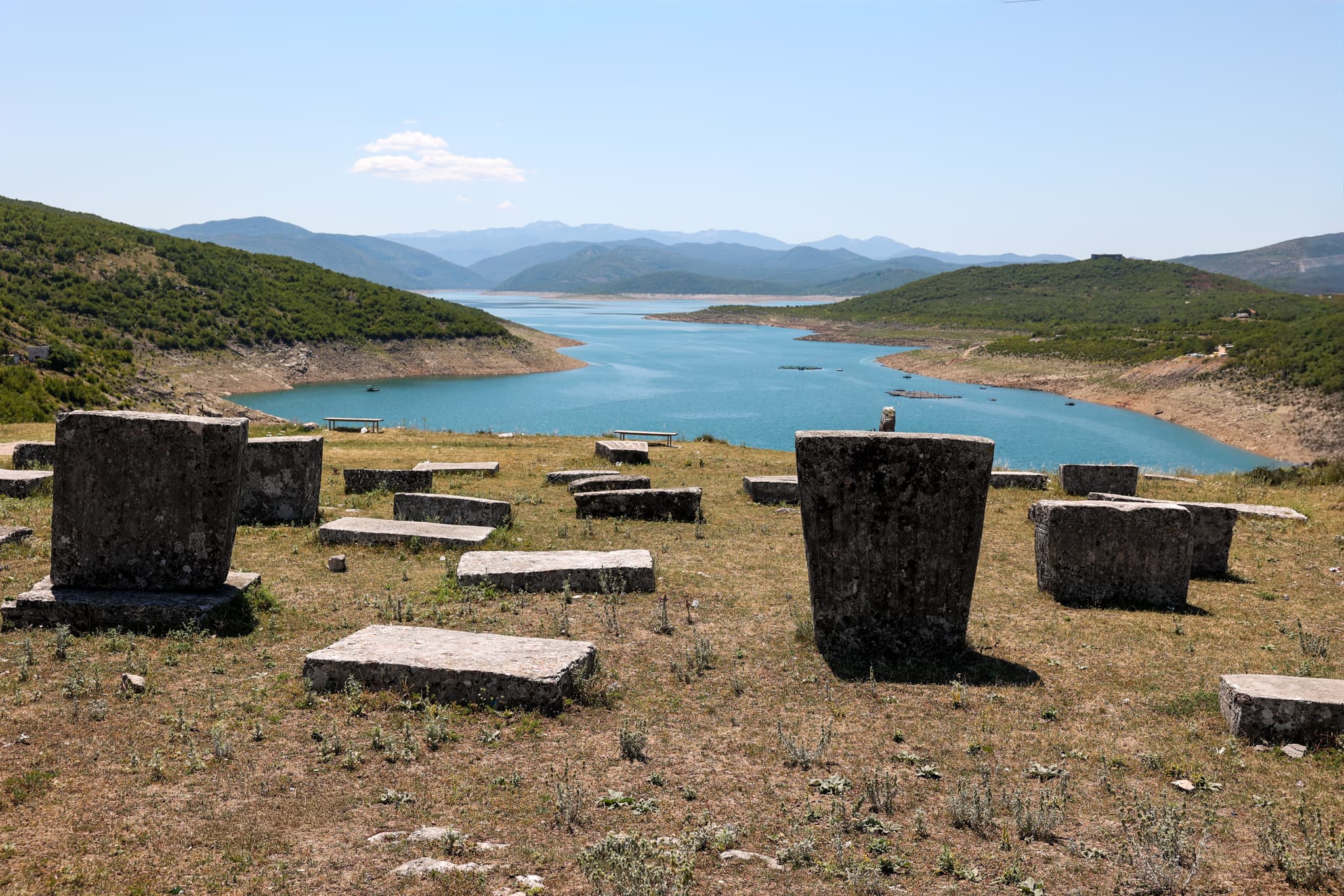
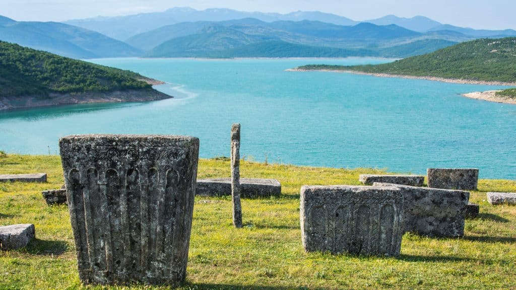
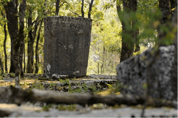
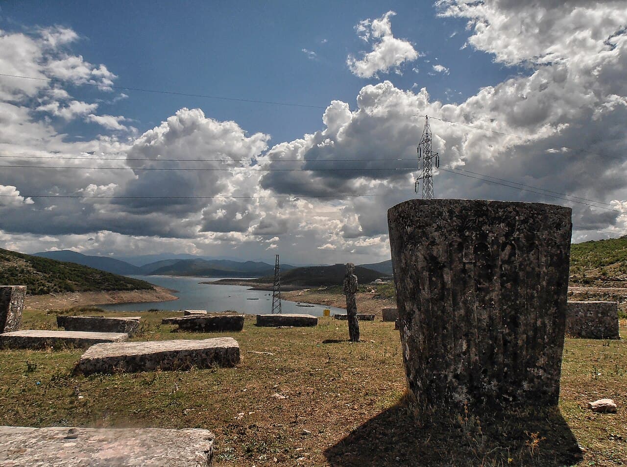
An artificial necropolis at the southern entrance to Bileća — 462 stećci relocated in 1964 ahead of the valley's flooding, the largest collection of its kind in BiH.
The Grebnice-Bunčići necropolis in Radmilovića Dubrava, village of Baljci — 291 monuments inscribed on the UNESCO World Heritage List in 2016.
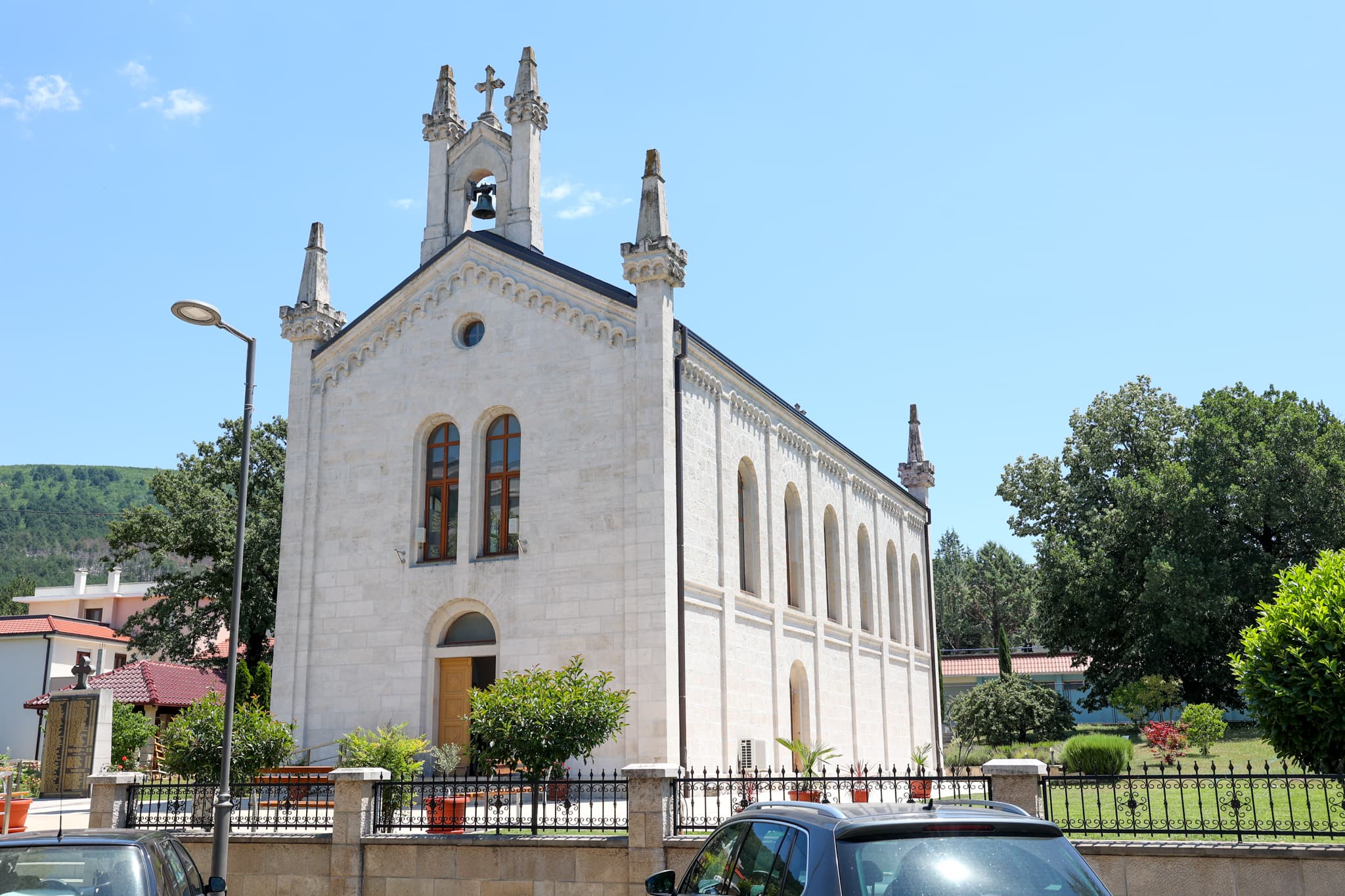
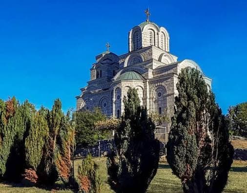
The cathedral church in Bileća's centre, consecrated in 1896 and dedicated to Saint Sava — the town's central place of worship and the site of the annual Savindan celebration, the municipality's patron-saint day.
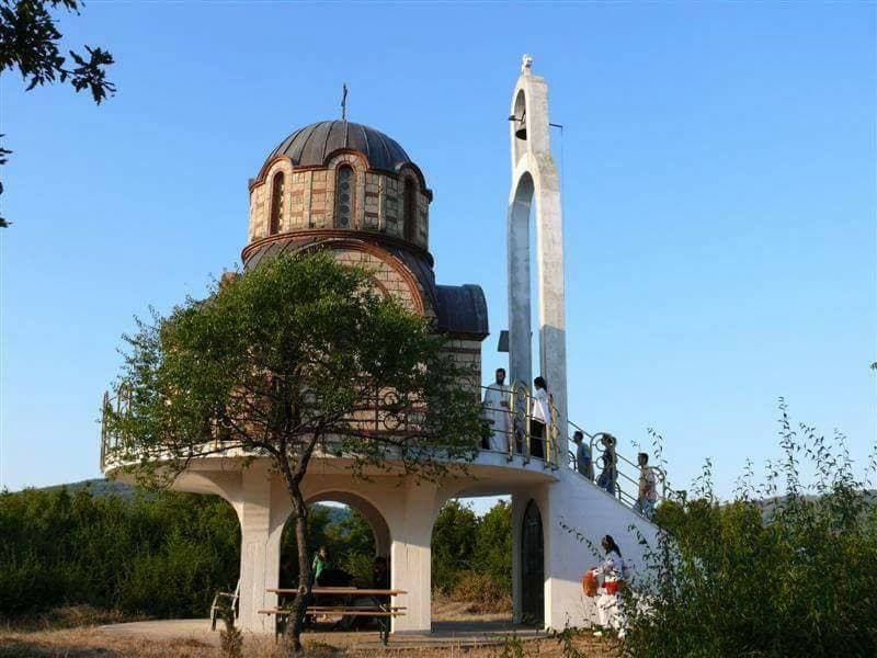
A small church on an island in the middle of Bileća Lake — one of the most recognisable and most photographed sights in the whole region.
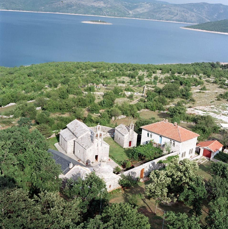
One of the most significant Serbian medieval monasteries, relocated in 1967 to the shore of Bileća Lake ahead of the flooding of the old Trebišnjica valley.
A 14th-century medieval monastery, relocated in 1966 to Petrovići near Nikšić ahead of the Trebišnjica valley being flooded by Bileća Lake.
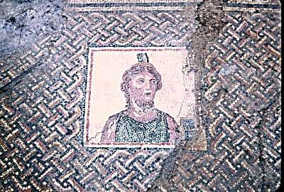
A Roman municipium flooded in 1967 by the dam — the story of the lost city is preserved in the Bileća Heritage Collection.
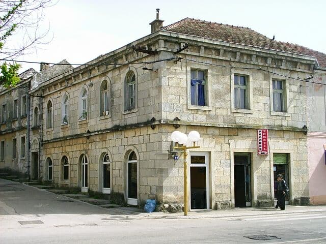
Bileća's ambient ensemble — the historic core with traditional architecture, the čaršija market area and Ottoman heritage.
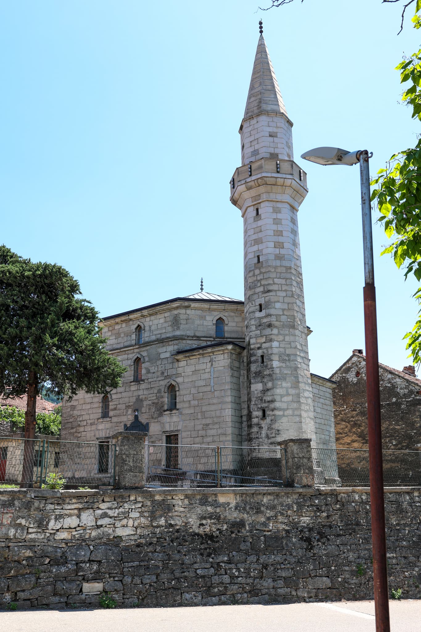
Bileća's most important mosque, built in 1895 on the foundations of an earlier building — an important monument of Ottoman heritage right in the town centre.
A mosque in the village of Plana, built in 1617, destroyed during the war and rebuilt in 2013 — a place traditionally linked to actor Emir Kusturica's origin.
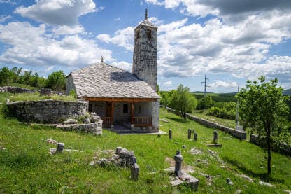
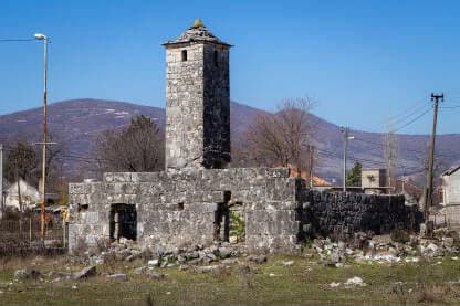
A mosque in Grabovice with a rare square minaret, traditionally built by Hasan-paša Predojević in 1572.
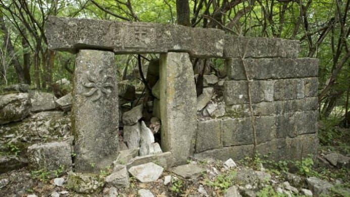
The remains of a church in the village of Prijevor, traditionally linked to Hasan-paša Predojević from the 15th century — testimony to the region's intertwined religious history.
A medieval stone cross about 2.5 metres tall in the village of Davidovići, part of a wider necropolis with stećci.
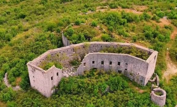
Remains of an old fortress on a hilltop above the lake, with a panoramic view of Bileća Lake and the surrounding mountains.
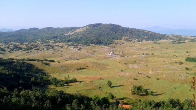
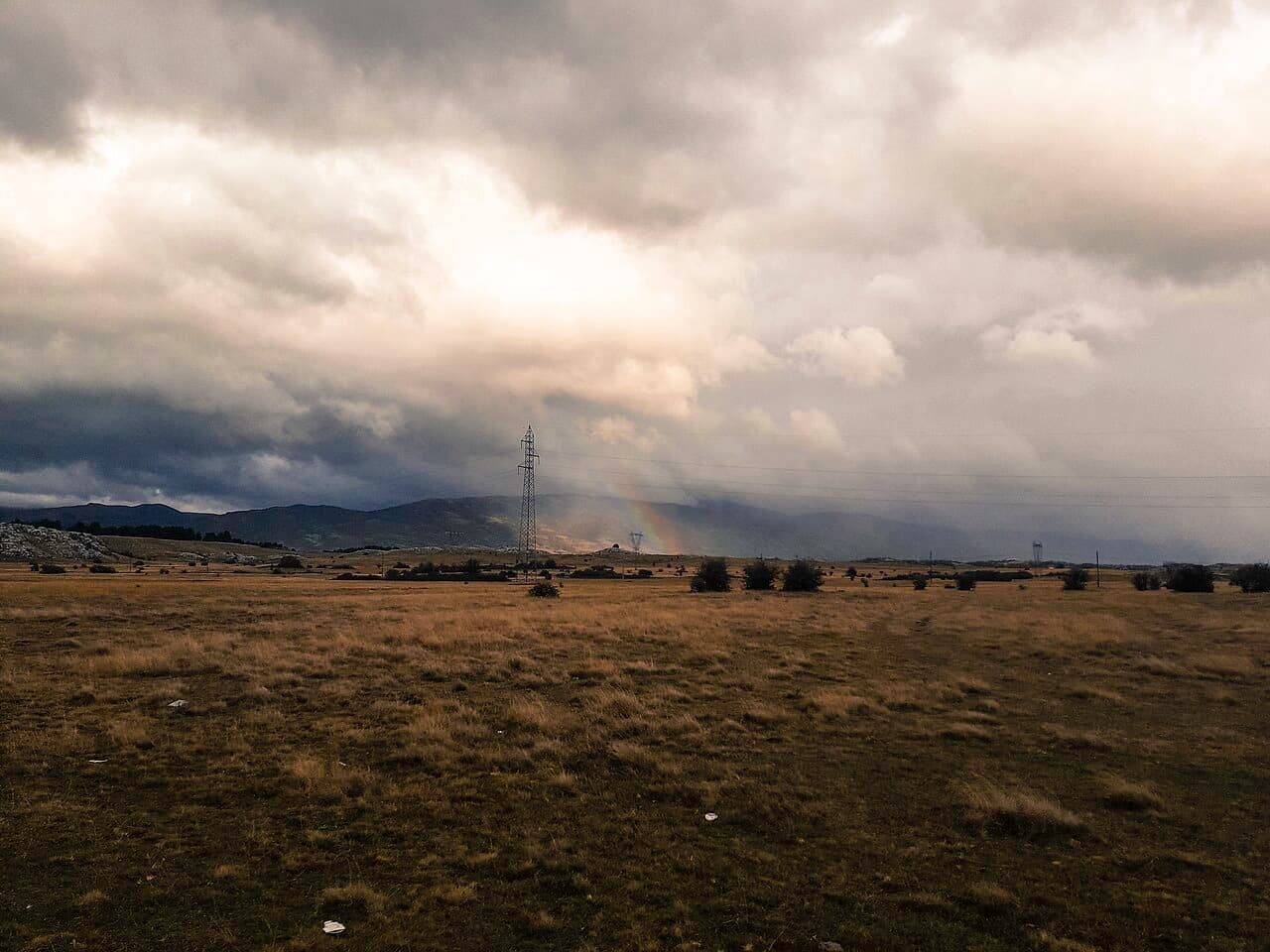
A plateau about 6 km from Bileća where, in July 1876, Montenegrin and Herzegovinian forces won one of their greatest victories over the Ottoman Empire.
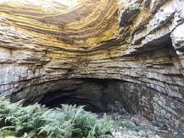
One of the most significant caves in Republika Srpska for its geophysical features, at the tripoint of the villages of Korita, Doluše and Brestice.
A reverse ponor near Grančarevo that seasonally expels water instead of swallowing it — one of the more unusual karst phenomena of the region.
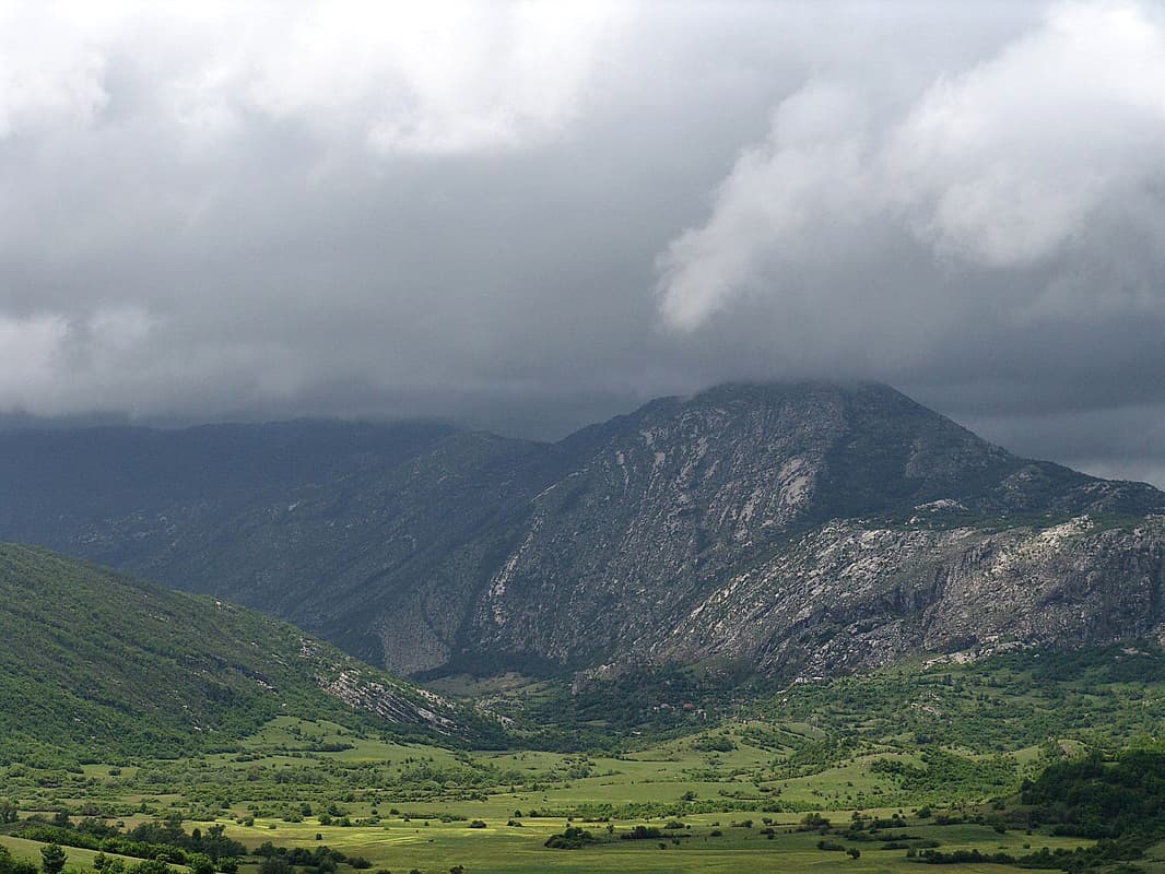
Bjelašnica, Baba, Sitnica and Viduša — the mountain chain framing Bileća's karst plains and offering panoramic viewpoints.