Nature & Karst
The fields, peaks and sinking rivers of the Rudine
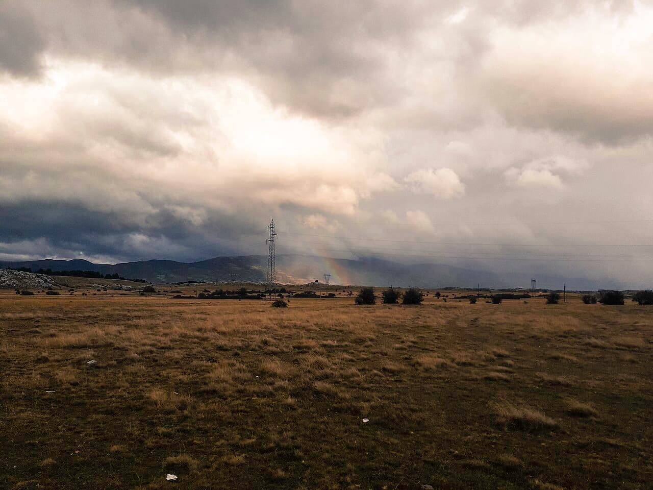
Bileća lies in the holokarst landscape of the Rudine, between 400 and 600 metres above sea level. Among the hills sit four karst fields — Bilećko, Plansko, Fatničko and Dabarsko — which gather water in winter and come alive with green in summer.
South of the town rises the Trebišnjica, one of the largest sinking rivers in Europe, part of whose course runs underground through karst channels. The terrain is laced with caves, ponors and springs — a paradise for lovers of nature and caving.
The terrain also hides special hydrological phenomena — estavelas, reverse ponors that seasonally expel water instead of swallowing it. The "Duvalo" estavela near Grančarevo sometimes discharges water even during the summer drought. Đatlo Cave, at the tripoint of the villages of Korita, Doluše and Brestice, ranks among the most significant caves in Republika Srpska for its geophysical features — a sinking river is said to have once flowed through it.
What to expect
Peaks
Bjelašnica (1867), Baba (1735), Sitnica (1419), Viduša (1328, peak V. Tisac).
Karst fields
Plansko (609 m), Fatničko and Dabarsko fields — bird habitats.
Trebišnjica
A sinking river with its spring south of the town.
Đatlo Cave
One of the most significant caves in Republika Srpska, near the village of Korita.