Geography & Villages
Position, borders and settlements of the municipality
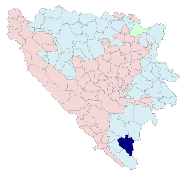
The Municipality of Bileća lies in the south-east of Republika Srpska and belongs to the region of East Herzegovina, which also includes Trebinje, Ljubinje, Gacko, Nevesinje, Berkovići and Istočni Mostar. It covers an area of about 633 km², roughly 2.5% of the territory of Republika Srpska.
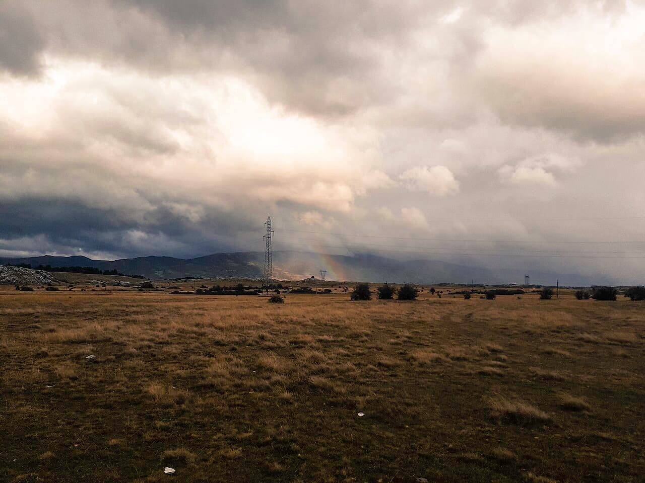
The town's average altitude is 476 metres, and the rest of the municipality around 700 metres. The higher peaks belong to the mountains Bjelašnica (1867), Baba (1735), Sitnica (1419) and Viduša (1328). The municipality borders Nikšić (Montenegro) to the east, Gacko and Nevesinje to the north, Berkovići to the north-west, and Ljubinje to the west and south-west.
Villages of the Bileća municipality
Bileća is an administrative seat with ten local communities and 60 villages.
Featured villages
Baljci
The Grebnice-Bunčići stećci necropolis (Radmilovića Dubrava) was inscribed on the UNESCO World Heritage List in 2016.
Bijela Rudina
Villagers scattered around the world — from the United States to Australia — together built the village's first church, a stone building "with two faces" designed by architect Čedomir Salatić.
Bogdašići
According to tradition the village was named after Ban Bogdan, its former lord; today, together with Trnovica and Vrbica, it forms the small Vrbica group of villages.
Vlahinja
Home to its own necropolis of medieval stećci, part of the region's rich heritage.
Vranjska
Ancestral home of the Vujović brotherhood, to which writer Meša Selimović's family belonged.
Divin
The village elementary school has operated since 1935; today it is a satellite branch of the "Sveti Sava" Elementary School in Bileća, with the nearest churches in neighbouring Kuti and Fatnica.
Kačanj
Birthplace of Vladimir Gaćinović (1890), writer and a leading figure of the Young Bosnia movement.
Korita
Home to a monastery dedicated to St John of Kronstadt, under the Diocese of Zahumlje-Herzegovina and Littoral, with the Korićka jama cave nearby.
Kuti
The village houses cluster around the old Ćumurina Tower, and the surrounding area holds prehistoric burial mounds such as Velika Gomila and Prosuta Gomila.
Mirilovići
The ancestral village of writer and painter Momo Kapor's family.
Orah
Dobrićevo Monastery was relocated here in 1967, ahead of the flooding of the Trebišnjica valley.
Panik
Site of the ancient Roman town of Leusinium, now submerged beneath Bileća Lake.
Plana
Home to the Avdić Mosque (1617, rebuilt 2013); a place to which Emir Kusturica's origin is traditionally linked.
Prijevor
The remains of the old Predojević family church can still be seen in the village, its past and legends still tied to this area.
Trnovica
The village was founded in the mid-18th century by the Uljarević family, who arrived from Trnovo in Montenegro, after which the settlement was named.
Fatnica
One of the region's four karst fields, with archaeological traces from Roman times.
Čepelica
A favourite lakeside beach and the birthplace of geographer Jevto Dedijer; part of the village disappeared under water in 1967.
All villages
- Baljci
- Bijela Rudina
- Bijeljani
- Bodenik
- Bogdašići
- Brestice
- Vlahinja
- Vranjska
- Vrbica
- Golobrđe
- Gornja Meka Gruda
- Gornji Davidovići
- Granica
- Deleuša
- Divin
- Dlakoše
- Dola
- Donja Meka Gruda
- Donji Davidovići
- Đeče
- Žudojevići
- Zasada
- Zaušje
- Zvijerina
- Kačanj
- Kalac
- Korita
- Krivača
- Krstače
- Kukričje
- Kuti
- Lađevići
- Ljubišići
- Milavići
- Mirilovići
- Miruše
- Mrežica
- Narat
- Njeganovići
- Oblo Brdo
- Orah
- Orahovice
- Pađeni
- Panik
- Plana
- Podgorje
- Podosoje
- Preraca
- Prijevor
- Prisoje
- Rioca
- Selišta
- Simijova
- Skrobotno
- Todorići
- Torič
- Trnovica
- Fatnica
- Čepelica
- Šobadine